


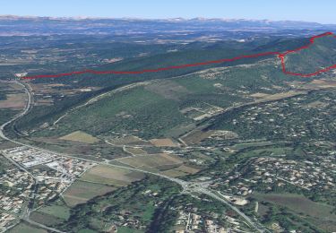
13,9 km | 23 km-effort


Utilisateur


Application GPS de randonnée GRATUITE
 SityTrail
IGN / Instituts géographiques
SityTrail World
Le monde est à vous
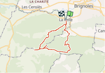
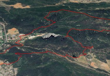
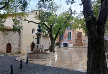
Randonnée A pied de 15,4 km à découvrir à Provence-Alpes-Côte d'Azur, Var, La Celle. Cette randonnée est proposée par clintest.
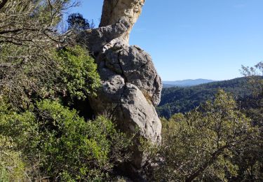
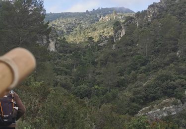
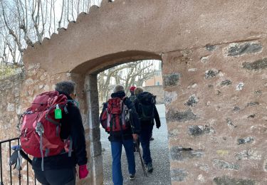
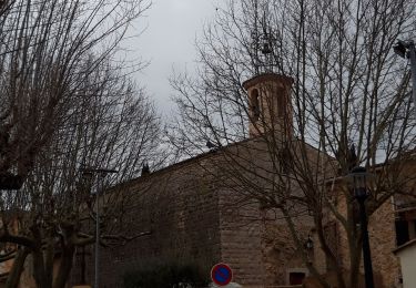
depart de la rue de fontvielle. cela monte jusqu au sentier de la loube.. grosse montee de la crete - puis descente technique ! arrivee a la piste des carrieres et retour
Marche

Marche
Marche
Marche
Marche
Marche
Marche
Marche
Marche